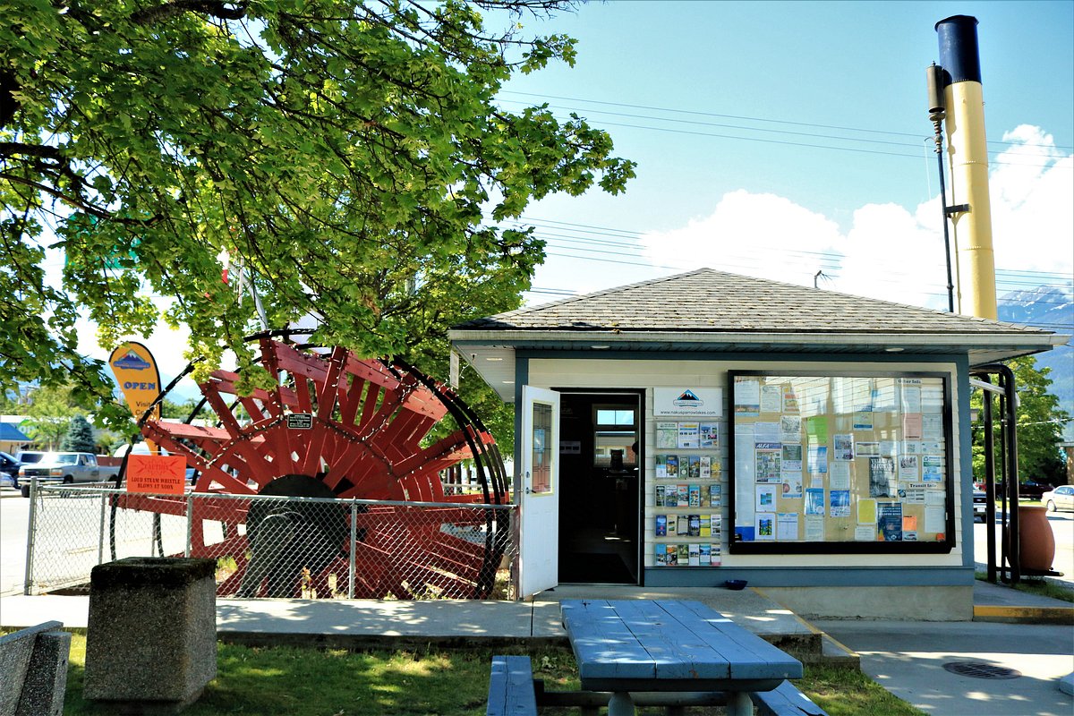
Print this page

Nakusp and Arrow Lakes

The Nakusp and Arrow Lakes have much to offer to all visitors: from beautiful scenery and relaxing Hot Springs, to a multitude of outdoor and indoor activities. Summer promises terrific golf and fishing, excellent hiking and biking trails and various festivals and events. During the winter, the region is popular with those who like to snowmobile, snowshoe, and any type of skiing including downhill, cross-country, heli-skiing and backcountry skiing. Winter also provides excellent opportunities for fishing on the open waters of the main lakes, or for ice fishing on the smaller lakes.

Spring, Summer, Fall and Winter, the Nakusp and Arrow Lakes region is truly a Year Round tourist destination.

The Arrow Lakes is part of the Columbia River System, with water flowing through the lakes from north to south. The distinction between the lakes is less obvious since the construction of the Hugh Keenlyside Dam in the south and the subsequent flooding of the valley bottoms.  A narrow channel, “The Narrows”, at Arrow Park south of Nakusp represents the division between Upper and Lower Arrow Lakes.

The Selkirk Mountains lie on the east side of the Arrow Lakes, with the Monashee Range on the west. These mountain ranges hold many smaller lakes, some of which are accessible by backcountry road and some are more remote.   Many mountain peaks and ridges offer spectacular views of the valleys and lakes below, and the mountains as far as the eye can see.

Several communities are situated along the shores of Upper and Lower Arrow Lakes, and other nearby lakes.  These communities were started by settlers who relied on the waterways as their main travel routes, aboard stern-wheelers which plied up and down the lakes carrying passengers and cargo.

The largest community in our region today is Nakusp, which prides itself on its waterfront walkway overlooking Upper Arrow Lake, its beaches and the nearby natural hot springs:  Nakusp Hot Springs located north of Nakusp on Hot Springs Road, and Halcyon Hot Springs located 32 km north of Nakusp on Highway 23.

South of Nakusp, on the eastern shore of Lower Arrow Lake, are Burton and Fauquier. Burton is located on the beautiful alluvial fan formed by Caribou Creek, and is well-known for its excellent agricultural and timber values.  The town of Fauquier greets those arriving from the Okanagan via Highway 6 and the Needles Ferry. Also a farming community, the town has a popular lakeside golf course.

Arrow Park is situated between Nakusp and Burton, and the cable ferry located here provides access to the extensive backcountry road network on the western side of the lake.

Edgewood is on the west shore of Lower Arrow Lake, 15 kilometres south of Highway 6. The beautiful farming land of the Inonoaklin Valley greets you as you make your way to Edgewood.

The lakeside village of Halcyon is located 23km north of Nakusp on Highway 23, with development based entirely around natural hot springs.

The community of Trout Lake is located on the shores of a lake of the same name, near the north-eastern end of Upper Arrow Lake.  While driving to Trout Lake along Highway 31 from Galena Bay, other smaller lakes, Armstrong and Staubert, are passed. The Trout Lake region is rich in mining history, and provides access to excellent backcountry recreation.


For mobile access to information on accommodations, food & beverage, weather and road conditions when travelling in the Nakusp and Arrow Lakes region, go to our new mobi site: www.nakusparrowlakes.com/mobi.


Next page: Area Map